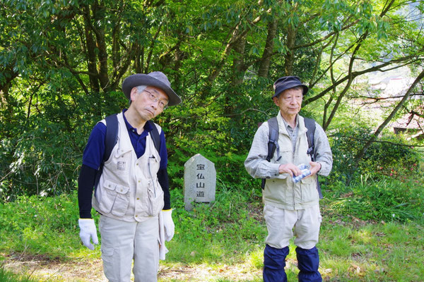
Mt.Houbutu 宝仏山
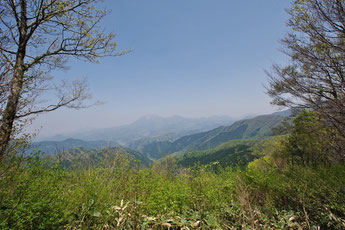
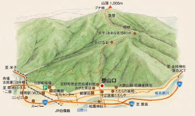
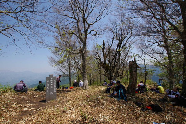
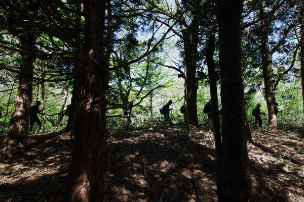
JR伯備線根雨駅からアクセス良好の山。標高1005メートル、登山道も比較的分かりやすい。スタート地点からの標高差は約800メートルで、黙々と登っていくイメージだ。道中にはブナ、杉、クヌギなどの木が見られる。普段身体を動かしている人向け。
登山口:日野町根雨 日野町歴史民俗資料館横
行程:約6キロ
所要時間:約4~5時間
A mountain that offers easy access from Neu Station on the JR Hakubi Line. The height is 1,005 meters and the route is relatively straight forward. The altitude gain from the starting point is approx. 800 meters, offering a tranquil ascent. Beech, cedar, sawtooth oak, and other trees are visible along the route. Best for those who exercise fairly regularly.
Distance: approx. 6 km
Duration: approx. 4-5 hrs.
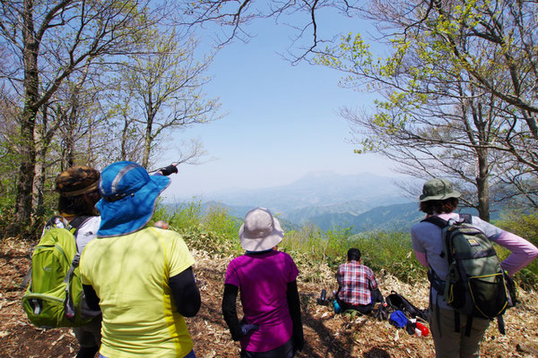
Mt.Kenashi 毛無山
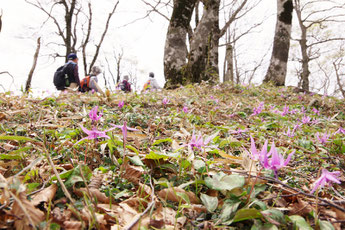
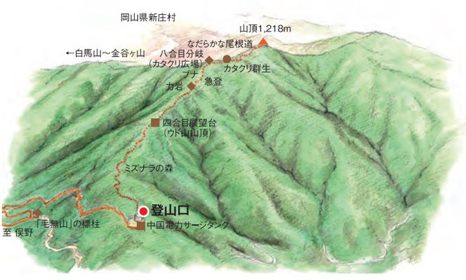
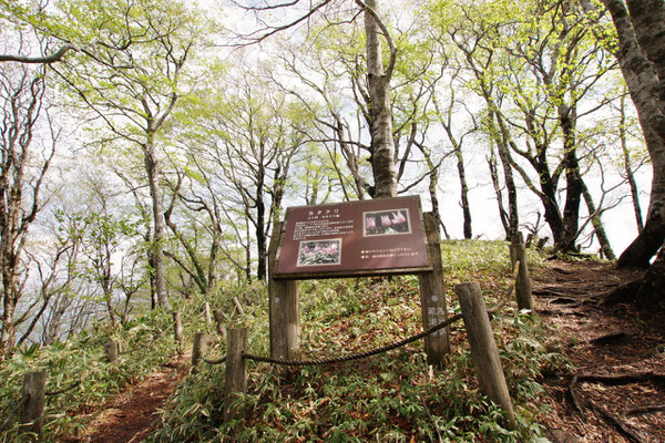
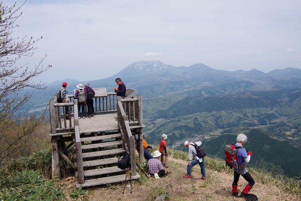
カタクリの咲く季節(GWごろ)は特に人気のある山。鳥取県側のアクセスは、江府町俣野から。標高1218メートル。道中の景色も良く、ハイキングにぴったりのコースだ。
登山口:江府町俣野 中国電力サージタンク横
行程:約5キロ
所要時間:約2~3時間
The mountain is especially popular when the dogtooth violets are in bloom (around Golden Week/early May). Access from the side near Tottori prefecture is from Matano, Kofu-town. Height: 1,218 meters A route perfect for hiking, with great scenery as well.
Distance: approx. 5 km
Duration: approx. 2-3 hours
Hiking Guide & Map 奥日野五山 山行ガイド&マップについて
日野郡の山歩きが楽しめるガイドマップを紹介します(制作:奥日野ガイド倶楽部)。御墓山、船通山、大倉山、宝仏山、毛無山などの情報が掲載されています。ぜひダウンロードしてご覧ください。
また、個別の山の案内も可能です(日程・ガイド料等は要相談)。お気軽にお問合せください。
This guide map helps visitors enjoy the mountain paths of the Hino District. (* Japanese version only). Please be sure to download this resource.
Individual mountain tours are also available (please inquire for schedules and guide fees). Please inquire for further details.
鳥取県日野郡関係/観光情報サイト Link

縁の道〜山陰〜
一社)山陰インバウンド機構

日野ごよみ 鳥取県西部総合事務所日野振興センター

一般社団法人
山里Loadにちなん

日野町観光ガイド
日野町観光協会

よりみちにちなん
日南町観光協会

奥大山物語
江府町役場総務課

たたらんち
「たたら」の炎をイメージした
オリジナルメニューを、
郡内各店で提供しています!

伯耆国たたら顕彰会の新しいサイト。奥日野のたたら情報がどんどん広がっていきますように!。
このサイトは、日野郡のインバウンド向け観光ポータルサイトです。日野軍★みらい創生デザイン会議が制作・運営しています。
This is a portal site for inbound tourists visiting the Hino District. It is created and managed by the Hino-gun Mirai Sosei Design Committee.
所在地:鳥取県日野郡日野町根雨228-1